For a Clean Green Future

Flooding
Based on previous and more recent flood events in Erie County there is a high risk of future flooding that will put many people and properties at risk. Data from the NYS Energy Research and Development Authority (NYSERDA) indicates that Erie County will continue to experience direct and indirect impacts of annual flooding that may cause infrastructure deterioration or failure, utility failures, power outages, water quality and supply concerns, transportation delays, accidents, and inconveniences.
Public Health Risk-
Public health risks associated with flood events are numerous:
-
Floodwaters can be contaminated with pollutants such as sewage, human & animal feces, pesticides, fertilizers, oil, asbestos, and rusting building materials;
-
Unsafe food;
-
Contaminated drinking & washing water;
-
Mosquitos & animals;
-
Carbon monoxide poisoning;
-
Hazards associated with re-entering & cleaning flooded structures;
-
Mental stress & fatigue
Throughout Erie County it's estimated that temperatures will increase by 3.0 °F to 5.5 °F by the 2050s and 4.5 °F to 8.5 °F by the 2080s. Increasing air temperatures intensify the water cycle by increasing evaporation and precipitation. This can cause an increase in rain totals during events with longer dry periods in between those events. Precipitation totals are estimated to increase between 0 and 10% by the 2050s and 0 to 15% by the 2080s. The amount of rainfall in a 100-year event is projected to increase, while the number of years between such storms is projected to decrease. Rainstorms will become more severe, more frequent, and have the potential to:
-
Heighten the risk of riverine flooding;
-
Flood key rail lines, roadways, and transportation hubs;
-
Increase delays and hazards related to extreme weather events.

Flood Zones-
As defined by the Federal Emergency Management Agency (FEMA), geographic areas within the 1 percent annual chance flood area in Erie County are estimated to have a 1% chance of flooding in any given year. A structure located within a 1% annual chance flood area has a 26% chance of suffering flood damage during the term of a 30-year mortgage. Geographic areas located within the 0.2% annual chance flood area boundary are estimated to have a 0.2% chance of being flooded in any given year.
Our Town of Aurora and Village of East Aurora both fall into the above risk categories. The Erie County Hazard Mitigation Plan (9/2021) rates the flood risk for the Town of Aurora as "High". The estimated land area exposed to the flood hazard zones is 1,390 acres for the Town and 448 acres for the Village of East Aurora.


The potential flood zone risk to the Town of Aurora, including the Village of East Aurora, is demonstrated by the map below. This map illustrates our geographical watershed, primarily consisting of the Cazenovia Main, West & East Branches, and Tannery Brook.
(Source: Buffalo Niagara Waterkeeper/ Importance of Headwater Communities/Town of Aurora)

Impact on the Town of Aurora's General Building Stock-
Exposure to flood hazards includes buildings located in flood zones or those that are built downstream. In The Town of Aurora 18 structures are identified in the 1% zone category, and 47 in the .02% category with a total estimated replacement cost value of $2,496.885,036. In the Village the same categories are estimated as at 41 and 419 respectively with a total estimated replacement cost value of $1,723,816,550.

Impact on the Town of Aurora's Critical Facilities-
Erie County's Hazard Mitigation Plan also prioritized determining local critical facilities that may be at risk due to flooding. If critical facilities or transportation routes to them are damaged, critical services during or after an event may not be available. Damaged roads can isolate residents and rescuers. Utilities such as phone, electric power, and cable could also be vulnerable, creating additional isolation challenges. The Town of Aurora has 17 identified critical facilities at risk in the 1% annual chance flood hazard area. The Village of East Aurora has 6 in the same category. In the .02% zone category, the Village has 10 identified facilities.


Insurance Claims-
Insurance information from FEMA reports 49 claims for flood damage in the Town of Aurora and the Village of East Aurora, totaling losses of $281,649.

Economic Impact-
Flood events can impact our local and regional economy through:
-
Building damage and tax losses as a result;
-
Disruption of business;
-
Loss of tourism;
-
Damage to roads, bridges & utilities;
-
Debris removal costs
-
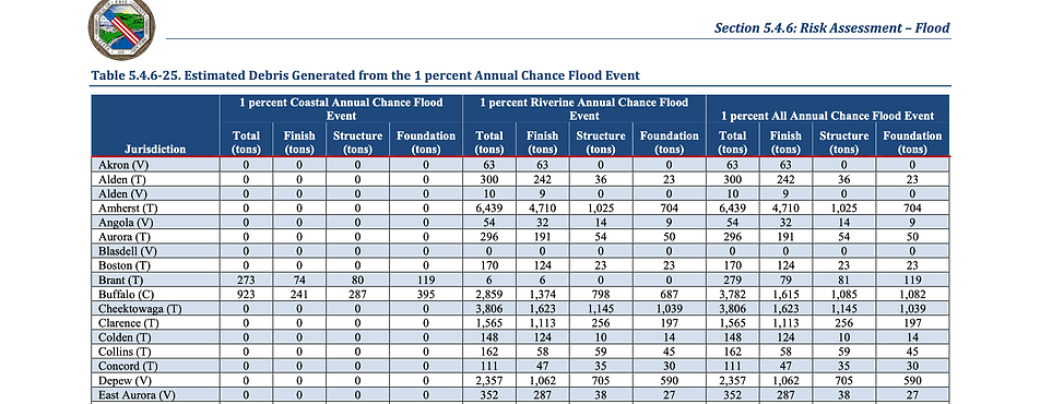
Debris removal after a flood can be especially costly. FEMA's HAZUS analytical program estimates the amount of structural debris generated in a flood event by 3 categories: Finishes (dry wall, insulation); structural (wood, brick, etc.) and foundational (concrete slab, rebar, block).
Population Exposure-
The total number of residents potentially exposed to flood risk and damage in the 1% and .02 % annual flood risk zones in Town of Aurora, including the Village of East Aurora, is estimated at 1084. Displaced persons who would need to see short term shelter or permanent relocation are estimated at 425. Of the exposed population, the most vulnerable include the economically disadvantaged and persons over age 65. Economically disadvantaged residents may be more vulnerable because they are likely to make decisions to evacuate based on economic impacts on their families. The population over age 65 is also more vulnerable because they are more likely to need medical attention that may not be available due to isolation during a flood event. They may have more difficulty evacuating.

